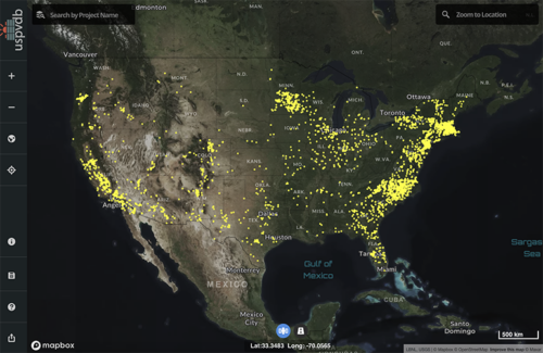
The U.S. Geological Survey (USGS) and the U.S. Department of Energy’s (DOE) Lawrence Berkeley National Laboratory (LBNL) released the largest and most comprehensive database to date on large-scale solar energy projects in the United States. The U.S. Large-Scale Solar Photovoltaic Database (USPVDB) includes the location, size and other characteristics of large-scale solar projects. This new public resource will enable researchers to observe trends in large-scale solar development as well as inform siting and planning for future deployment contributing to the Biden-Harris Administration goals to decarbonize the electricity sector by 2035.
“Nearly 4,000 solar systems are mapped in this database, providing a crucial new asset for researchers, energy planners, government and the solar industry,” said Jeff Marootian, Principal Deputy Assistant Secretary for Energy Efficiency and Renewable Energy. “The abundance of detailed information in this database will help us improve the responsible siting of large-scale solar energy projects across the country to benefit communities and meet our climate goals.”
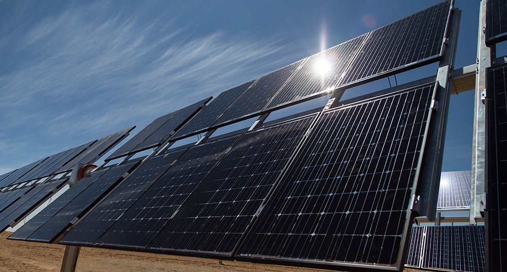
Ground-mounted solar could require 5.7 million acres by 2035 and as much as 10 million acres in 2050 in order to achieve the Administration’s decarbonization goals. The USPVDB is part of DOE’s ongoing research to reduce the cost and understand the impacts of siting solar and to develop strategies for maximizing benefits from large-scale solar facilities to host communities.
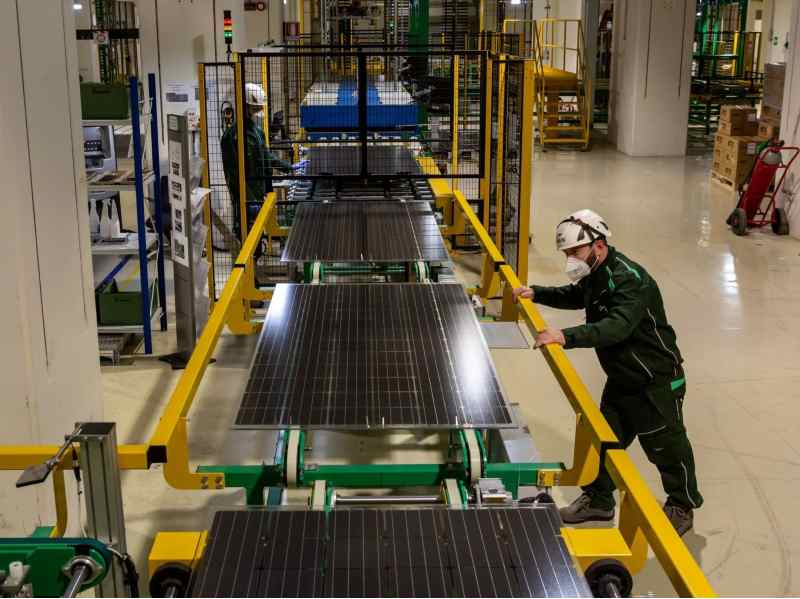
The USPVDB is a comprehensive dataset of U.S. large-scale solar PV energy project locations and characteristics that makes the data easier to access and more accurate than existing datasets. Since 2020, DOE’s Energy Information Agency has hosted an interactive database with coordinates of the central point of large-scale solar facilities. The USPVDB augments this information by providing data on the total footprint area and detailed attributes of each facility, including panel technology type, axis type, year of installation and generation capacity. The dataset includes ground-mounted solar facilities constructed through the end of 2021 with capacities greater than 1 MWDC. It includes more than 3,900 large-scale solar ground-mounted facilities in 47 states and Washington, D.C.
The USPVDB incorporates attributes from the Environmental Protection Agency’s RE-Powering data that provide descriptions of facility site types, including whether it is a greenfield, or has previous, current, or suspected contamination. It also identifies agrivoltaic sites, which locate agriculture under or between solar panels, with data from the National Renewable Energy Laboratory’s Innovative Solar Practices Integrated with Rural Economies and Ecosystems (InSPIRE) agrivoltaics program.
Researchers, decision-makers and other stakeholders can use the data to analyze the role of solar energy in decarbonizing the U.S. electric grid, improve studies on the interactions between PV facilities and the natural environment, plan investments in PV infrastructure and more. The dataset, which will be updated annually, will be downloadable in multiple formats and accessible via an online map viewer.
This work builds on expertise developed through the creation and maintenance of the DOE-supported U.S. Wind Turbine Database, which contains locations and technical specifications for more than 72,000 wind turbines.
USGS and LBNL will host a webinar to explain the database and the online viewer November 16 at 1 p.m. ET. Register for the webinar or read a paper describing the dataset.
This work is funded by the DOE Solar Energy Technologies Office (SETO) and the USGS Energy Resources Program.