AZoCleantech recently interviewed Kuva Space about its nanosatellites and their role in fighting climate change. The nanosatellites use artificial intelligence (AI) to transform space data into actionable insights for forecasting, Earth observation, and climate change research.
Can you tell us about Kuva Space and its role in the space technology industry?
Kuva Space is a Finnish space tech company that builds next-generation space technology to boost action against climate change. Specifically, we combine our proprietary hyperspectral camera technology with our European Space Agency-approved nanosatellite design and Green Data platform to enable industries, governments and research institutions to make financially smarter and environmentally responsible decisions.
Why is it important that we find ways to fight climate change?
Climate change is the most important challenge facing humanity today, and the commercial use of nanosatellites may prove a pivotal moment in this global fight.
Hyperspectral imaging is the ‘final frontier of earth observation’ as it reveals highly detailed and extensive insights that cannot be determined through other methods, such as conventional cameras or radars. From space, we can identify large methane emitters, measure the carbon balance in plants and soil, make global crop yield forecasts, as well as inform on issues relating to safety and security - all in real-time.
This knowledge opens up countless new opportunities for fighting climate change.
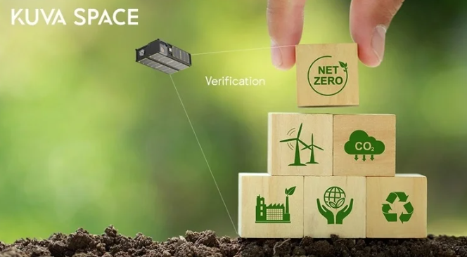
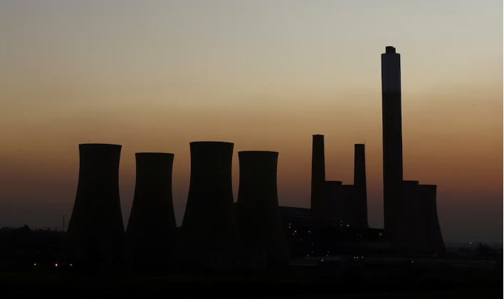
Image Credit: Kuva Space/Shutterstock.com
What are the current limitations we face regarding food security and productivity in relation to climate risks?
The worldwide impact of the situation in Ukraine has highlighted our collective vulnerability to disruptions in the food supply chain.
Food producers and nations can use space technology to secure global food production and biodiversity. It enables them to identify crop species that are suitable for the soil so as not to damage local flora and fauna, and to estimate and deliver the yields necessary for a growing global population as well as the financial returns.
Extreme weather events such as forest fires, floods, earthquakes and tsunamis can leave communities destitute and it often takes months, if not years, for them to fully recover.
Detailed satellite data can verify the magnitude of a catastrophe and determine the true extent of ‘proof-of-loss’, which is needed for parametric insurance payouts.
When insurers have a much better understanding of the trigger event, the damage, and the economic loss suffered, they can process the correct payout more quickly. It allows communities and land areas to recover without unnecessary delays, improving food security and productivity.
The International Panel on Climate Change (IPCC) has highlighted a gap between regional needs and actions taken. Can you explain what this means?
We are all aware that urgent action is needed. We must improve food security and productivity while reducing climate risks. However, without reliable information, it is difficult for markets, organizations, and other stakeholders to know which actions have the most positive long-term impact.
Take deforestation, for example. Certain agricultural practices in low-income countries empty the soil of nutrients needed to cultivate crops. Farmers burn down more forest for agricultural land because they have no choice but to learn a living. It delivers short-term economic gains but will threaten their communities and livelihoods in the long term.
We can apply hyperspectral data in regenerative agricultural techniques that improve soil conditions of current farmland, removing the need to cut down trees. Their fields could also be used for carbon capture - as verified by hyperspectral data - allowing farmers to turn that into carbon credits for additional income.
Kuva Space is building the world’s most extensive hyperspectral constellation of nanosatellites. What will these satellites capture and how will they help fight climate change?
We are very ambitious and plan to build the world’s most extensive hyperspectral constellation of 100 nanosatellites to capture the molecular composition of anything on Earth.
High-quality hyperspectral imaging from space captures the molecular composition of materials at scale. In the case of trees or crops, it allows us to determine their variety, health, and carbon levels. The technology will play a critical role in land and water management, monitoring carbon emissions and measurement of carbon sequestration for the long-term benefit of our planet.
What is the Green Data Platform and what technology does it use?
Our AI-driven Green Data Platform will transform intricate space-borne data into actionable insights that customers can use for efficient forecasting, change analysis, and bespoke application development.
What does the future look like in terms of using commercial nanosatellites for climate change research?
Commercial nanosatellites are a game-changer for climate change research. Nanosatellites weigh less than 10 kg each and are much cheaper to build and launch than traditional, larger satellites.
Unsurprisingly, the industry is expected to almost quadruple to a value of $8.69 billion in 2030 compared to $2.23 billion in 2020. Earth observation, which includes climate change research, will be one of the main applications of the technology, and we want to make sure that Kuva Space is part of that exciting journey.
How will these hyperspectral nanosatellites open up opportunities in other industries?
Carbon management will deliver economic benefits worth 26 trillion US dollars by 2030, with the carbon credit market alone worth more than 50 billion US dollars.
Companies can offset their CO2 emissions by buying carbon credits on Voluntary Carbon Credit Markets (VCMs), but reliable, verifiable and environmentally robust data is lacking.
Hyperspectral imaging makes it possible to measure carbon sequestration across forests, oceans and agricultural sectors, bringing accountability, trust and pricing transparency to the entire market and fuelling its growth. Buyers of carbon credits can be confident that they pay a fair price and suppliers are assured of an acceptable return. It will encourage further investment in carbon-reduction projects and gets us closer to global carbon neutrality and net-zero targets faster.
What challenges has your team faced and how have these been overcome?
Anyone wanting to operate in the space industry must adhere to strict regulations. The nanosatellite industry has seen great progress but is still relatively new. As one of the first Finnish companies in the space field, we overcame specific bureaucratic challenges by cultivating connections within the research community and with policymakers.
We are very proud that we are helping to pave a path for other space technology companies in Finland and beyond.
What are the next steps for the project?
All our attention will be on launching our first commercial hyperspectral satellite in early 2023. We will also seek to complete another funding round and seek talented people to strengthen our team.