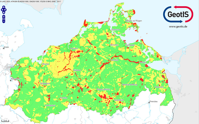
Work on this project was headed by LIAG and the Georg-August University of Göttingen (UGOE) with research partners and the Geological Service of Germany. The traffic light maps show where geothermal probes can be installed, with some information on potential restrictions and additional requirements that may be needed. The maps provide a uniform concept for Germany-wide overview of geothermal development. This is one of the goals of the WärmeGut research project that was launched by LIAG in 2022.
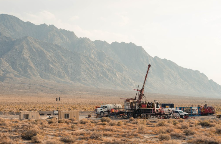
Geothermal probes in this context refer to systems that extract geothermal energy from boreholes that drilled, on average, 100 meters deep. Within these boreholes, pipes or hose systems are cemented in which a liquid circulates in a closed loop. The heat is then transported to the surface and upgraded by a heat pump, raising fluid temperatures to levels needed for either heating, cooling, or power generation.
“With the traffic light cards we can reach everyone who is interested in geothermal energy,” says Prof. Dr. Inga Moeck, head of geothermal energy research at LIAG. In this way, geothermal energy can be made more widely known to society and politics, particularly as a means of heating and cooling. This is very important for the municipal heating transition. “With our prepared scientific data, we want to support municipalities and show possibilities.”
The challenge here is that increasingly complex data must be presented in an easily understandable way. “Good heat pumps are also ground-coupled – where installation underground is possible, this should be implemented. The GeotIS traffic light maps provide an overview of this,” explains Moeck. For detailed information, GeotIS directs users to the web portals of the responsible authorities in the respective federal states.
We first reported on the GeotIS platform back in 2009 as a platform that provides publicly accessible geothermal information on Germany. The map provides cross sections of the subsurface, temperature maps, and information on existing systems and deep geothermal plants that are currently operating or under construction. The interface allows for the generation of dynamic maps combining topographical and statistical data. Temperature date from LIAG, structural data from various maps and project partners, and data from more than 30,000 boreholes provide the robust reference for GeotIS.