An aerial electromagnetic (AEM) survey will be conducted over 100 square kilometers in Cornwall, UK as part of the Deep Digital Cornwall Project. This will improve the understanding of Cornwall’s geology, allowing for better assessment of the region’s geothermal potential among other objectives of potential economic interest.
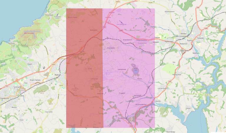
The survey is expected to commence on 16 February 2023 starting at the United Downs area before moving to the Redmoor area near Callington. Information on the survey locations and schedules, as well as information on the project itself, are available on the official project website.
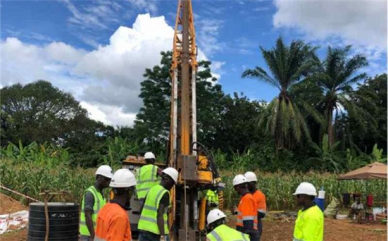
The aerial survey will fly at approximately 80 meters above the ground and may rise to 240 meters on more built-up areas, subject to the requirements of the Civil Aviation Authority. New Resolution Geophysics (NRG) will be operating the survey. The data will also be collected in collaboration with project delivery partners Cornish Lithium and Cornwall Resources.
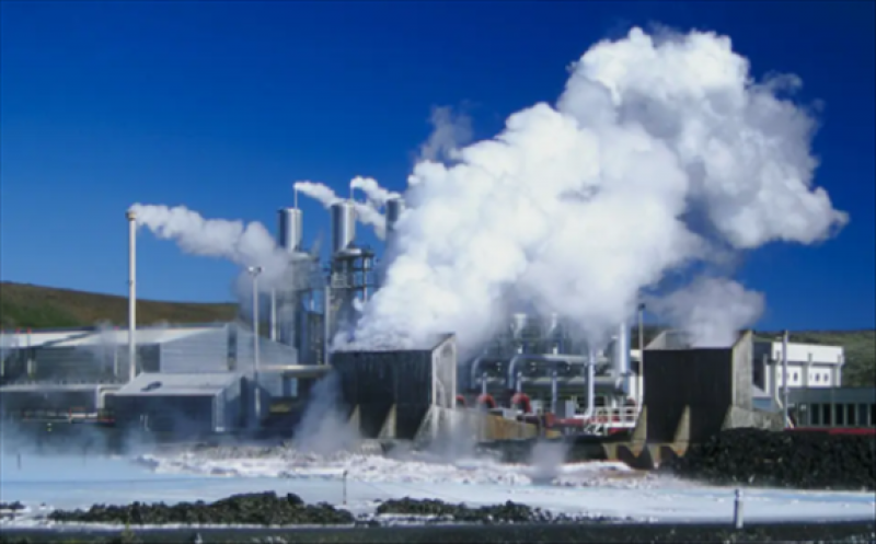
Aside from facilitating the characterization of the study areas’ geothermal resources, the survey can help with the exploration of minerals that may contribute to Net Zero goals, and provide a better understanding of hydrogeology and groundwater to help in mitigating flooding and coastal erosion.
The data collected from the survey will complement those of previous surveys in the area. These will be made publicly available via the Deep Digital Cornwall Hub and will be integrated into the project’s 4D Visualization Suite.
“We are looking forward to seeing the new data and testing how it helps us understand Cornwall’s important underground Geo resources, such as minerals we need for the energy transition and geothermal energy,” said Professor Frances Wall from the Camborne School of Mines, University of Exeter.
We had previously reported on the Deep Digital Cornwall project providing funding to GeoScience Limited for the creation of a new digital heat flow map in Cornwall.